
3D Modelling & Digital Twins
Precise 3D models of buildings and terrain to support design, planning and visualisation needs.
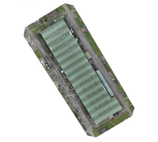
Generate detailed 3D models and digital twins of your assets. A powerful tool for architects, engineers, and site managers.
Precision Visualisation
- Experience your site in 3D with high-resolution texture mapping capturing every structural detail.
- Integrate 3D models into CAD and BIM workflows to support architectural design and planning.
- Provide stakeholders with interactive visualisations, making complex projects easier to understand.
- Visualise projects and plan developments with total confidence.
High-Precision 3D Data
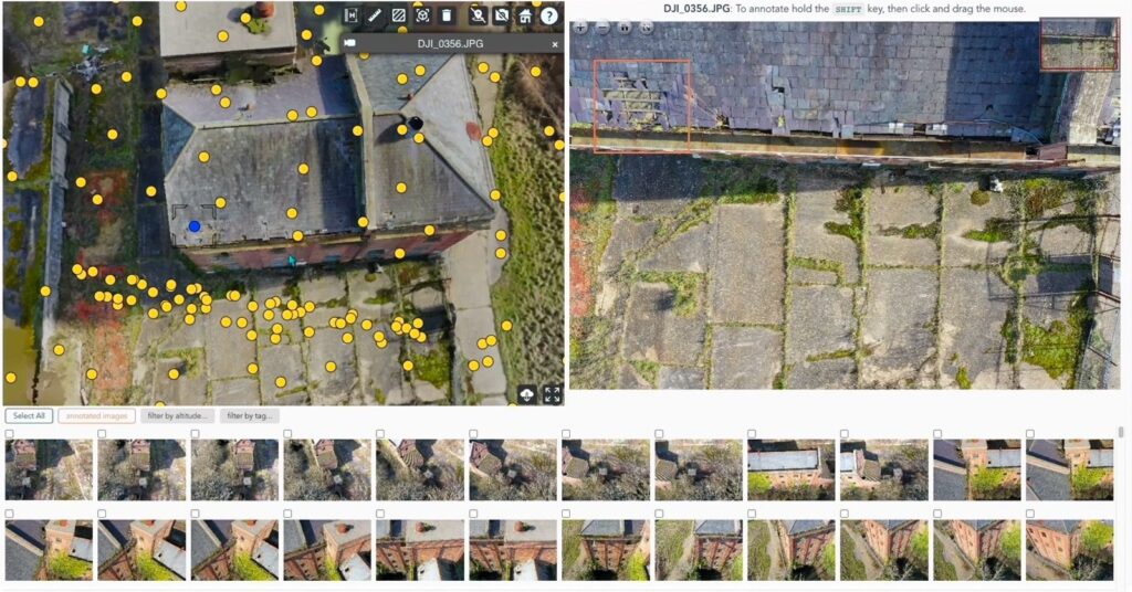
We process aerial data into textured point clouds and meshes available in variety of industry-standard digital formats.
- Textured 3D mesh files (OBJ/FBX).
- Point cloud data (LAS/XYZ).
- BIM integration support.
- High-resolution site renders.
3D Modelling
3D Modelling Applications
Architecture & Engineering
Our 3D models provide the foundation for successful design and construction projects.
- BIM-ready digital twins
- Architectural visualisations
- Topographical modelling
- Historic documentation
- Renovation planning
Asset Management
Manage your assets more effectively with interactive 3D site data and digital twins.
- Industrial digital twins
- Bridge infrastructure
- Quarry site overviews
- Tower inspections
- Insurance documentation
3D Digital Twins to support design, planning and maintenance.
Generate detailed 3D models and digital twins of your assets. A powerful tool for architects, engineers, and site managers.
3D Modelling FAQs
We use RTK and GCPs providing centimetre level accuracty for survey-grade precision.
Yes. We can export to OBJ, FBX, STL, etc., for AutoCAD, Revit, SketchUp, and Blender.
Point clouds are sets of data points; 3D models are textured meshes for realistic visualisation.
Gaussian Splatt is a new technique that provides quick high quality visualisation but without the accuracy or precision.